Government Fleet Management
Government fleets at all levels have unique requirements and opportunities to bring value to the citizens. Telematics data can be utilized to drive or support many government fleet initiatives. Many government fleets have recognized this and implemented some type of basic GPS vehicle tracking solution. Now government agencies are recognizing the value of telematics data and integration of data collected from fleet operations in other areas such as Smart Cities, traffic studies and big data.
Smart Cities
The term smart city may mean a lot of different things depending on who you are talking to. The foundation of the smart cities concept is good data collection. GPS tracking is one of many IoT devices that can be used to collect and consolidate government fleetdata. The idea of using data to make a city “smarter” is something that requires unique data and special capabilities. Fleetistics and various partners bring over 20 years of GPS tracking, telematics and now smart city experience to government customers, not just government fleet operators.
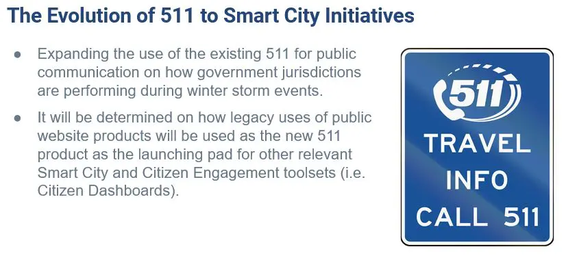
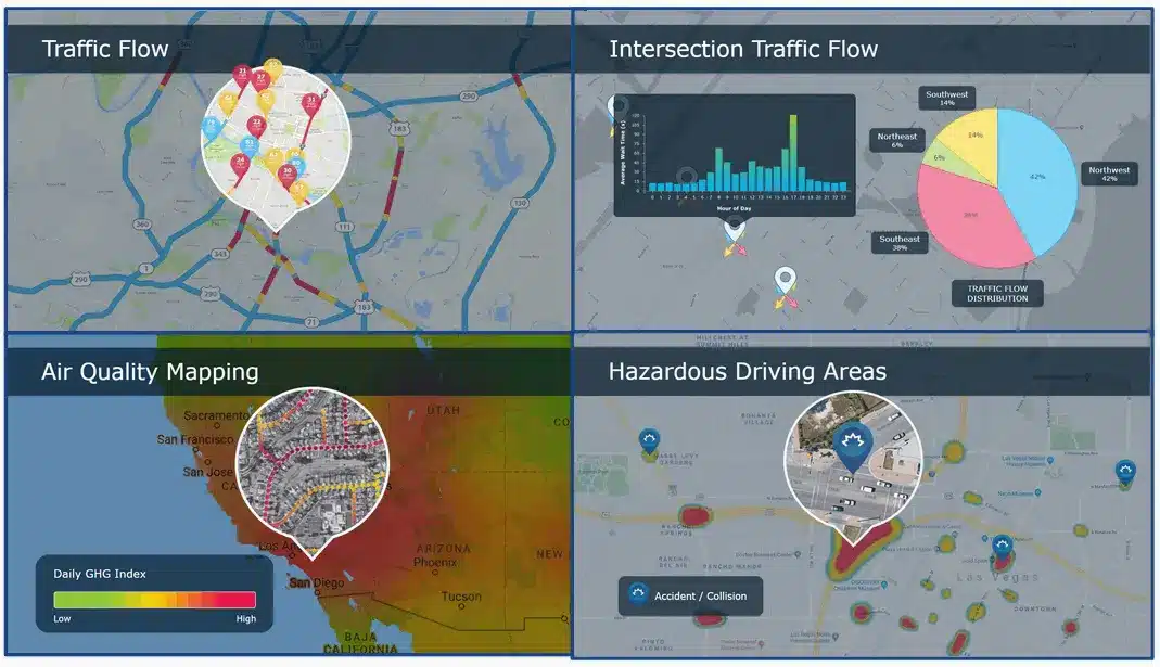
Using IoT (internet of things) data from any source and combining it with telematics data enables county, city and state government agencies and their partners to create unique data insights. Smart Cities have better traffic flow, more efficient emergency and public works services and equitably service all constituents as verified by data. Smart Cities combine data from multiple sources to improve the lives of the citizens.
Submit Form or call 855.300.0527
State Results – 4,500 vehicles
- $10.60 monthly per vehicle fuel savings
- 75,000 lbs in reduced carbon emissions
- $6.90 monthly per vehicle maintenance savings
- $4.30 monthly savings on accident expenses
- $1,074,400 annual depreciation savings
IoT Government Fleet Management Data Collection
GPS Tracking
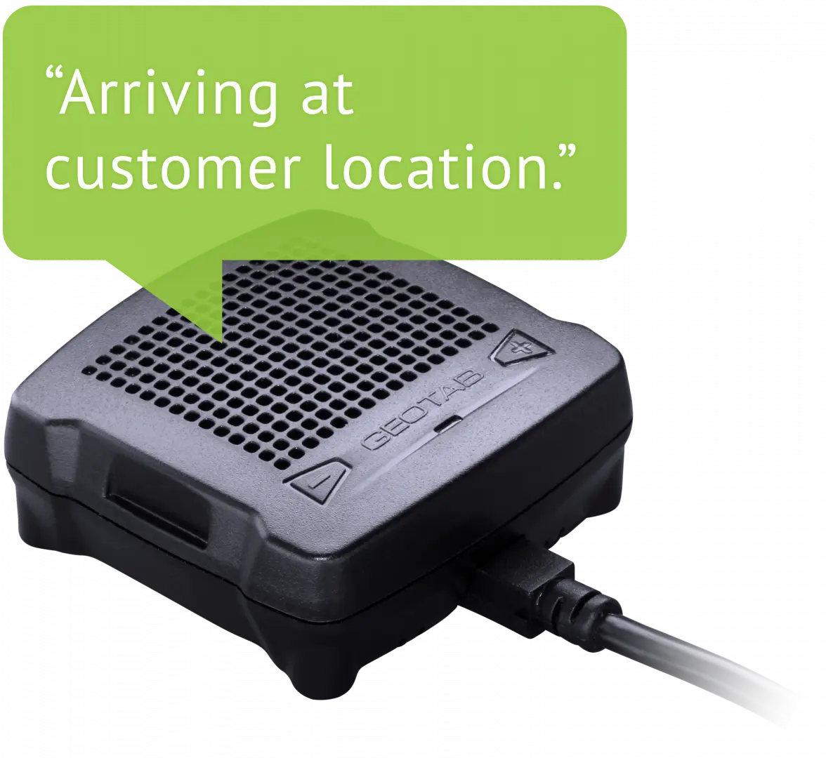
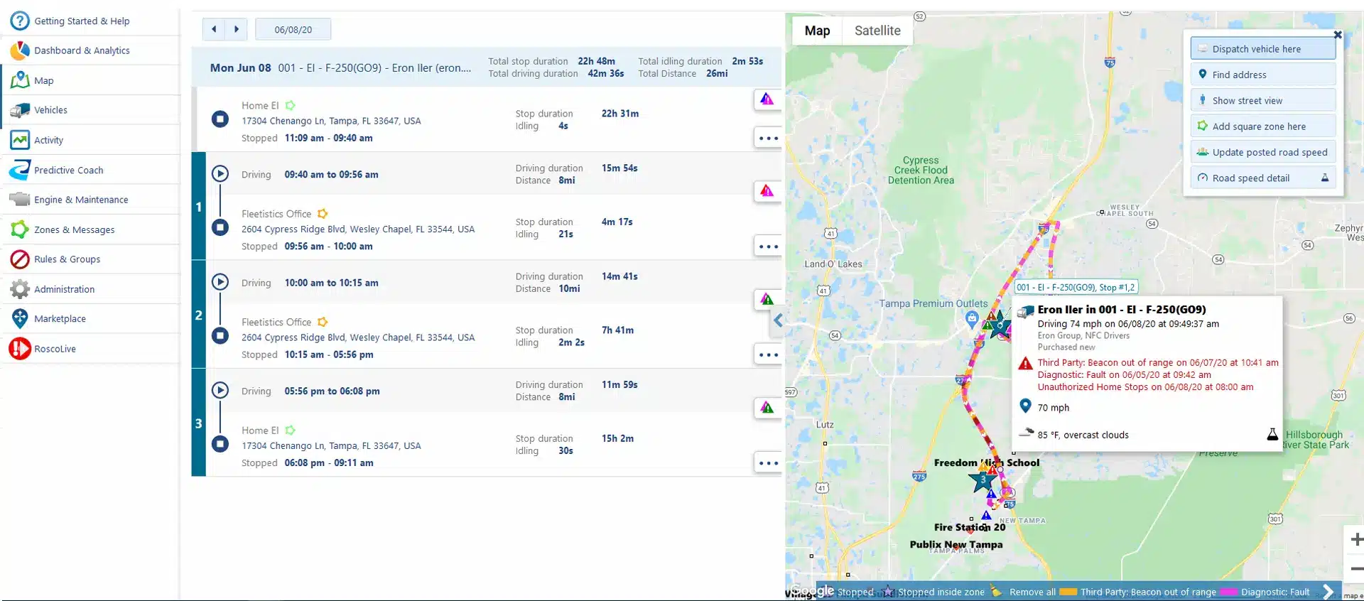
Being able to see the location, speed, route, stops and idle time of each vehicle provides an enormous amount of core data that can be used stand alone as well as to support other projects and initiatives. Fleetistics partners with Geotab for GPS tracking of vehicles, assets and equipment. The Geotab device is unique in that the same form factor can be used for all three tracking applications. Additionally, other GPS tracking data can be ingested.
Telematics
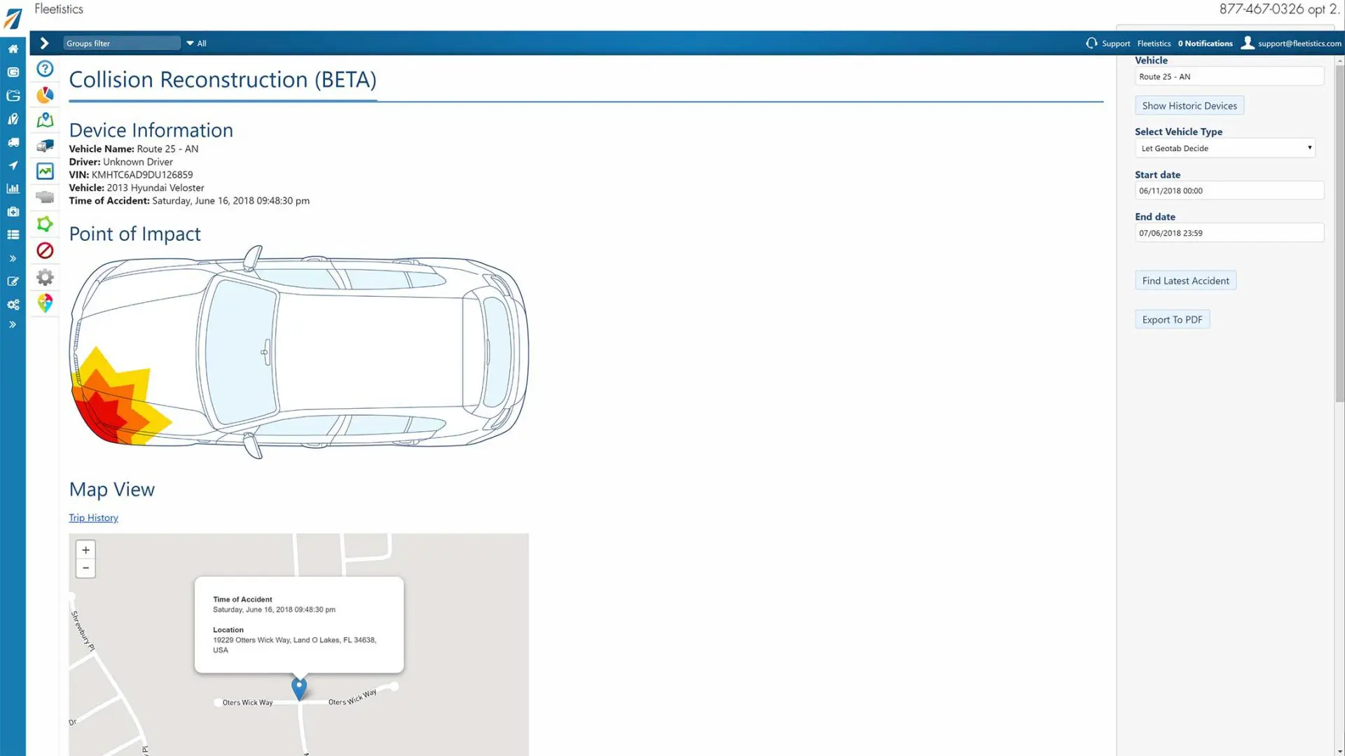
Telematics is generally the use of sensors on a vehicle to collect information about how a vehicle is being utilized. Telematics may include seat belt use, acceleration and deceleration, accident detection, accident recreation and harsh turning and braking.
Diagnostics Trouble Codes (DTCs)
The third basic data set provided by the Geotab fleet management device includes DTCs. DTCs can be collected from the GPS tracking device which is connected to the OBD, J-Bus or EV vehicle network. Fleetistics is also capable of receiving data from vehicle manufacturers and combining the data. DTCs include engine fault codes, status data and measurements. The goal of DTCs is to 1. reduce maintenance costs 2. reduce unplanned downtime and 3. more efficient planned downtime.
Smart City Initiatives
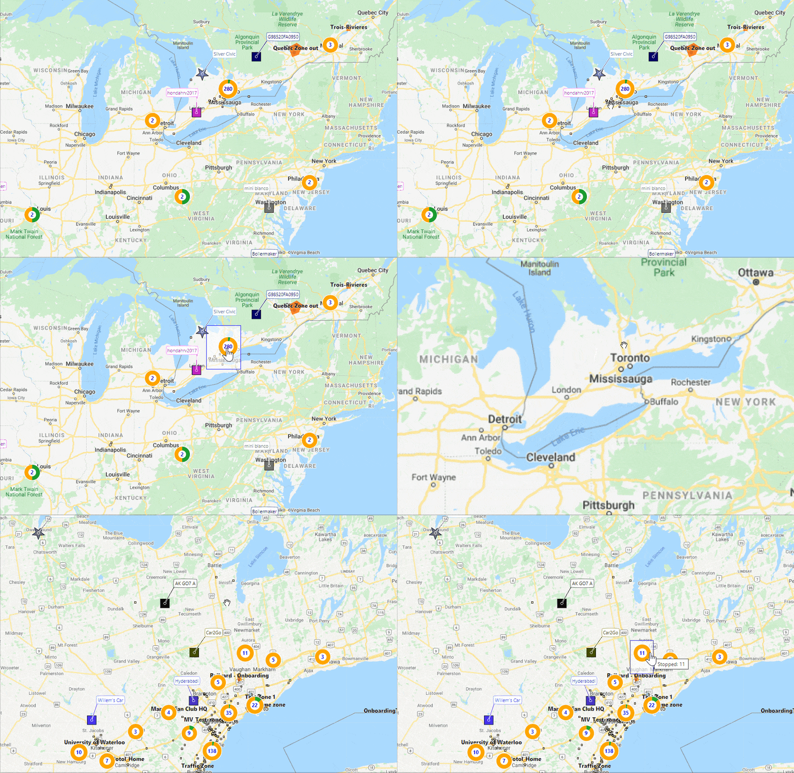
By knowing the location of all officers and vehicles, field supervisors can quickly and easily see where there are gaps in perimeters or duplication of resources. You can quickly visualize the perimeter on the map and reposition resources to expedite the capture of bad guys. Various map symbols also provide visual aids on the location of specialized assets such as K-9, tactical personnel, or field supervisors.
Areas:
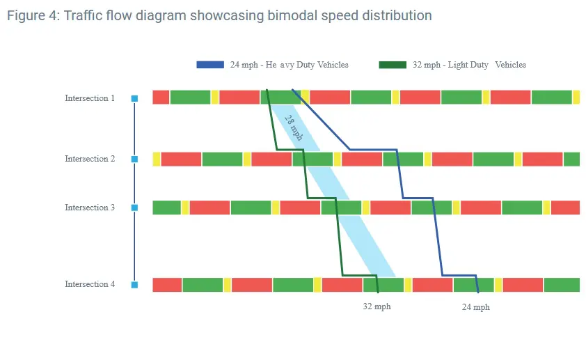
- Traffic patterns and flow
- Intersection management
- Electric vehicle program
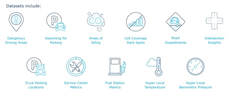
- IoT data integration
Public Works
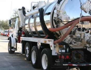
Helping cities manage, monitor and measure public works activities can lead to many benefits ranging from optimization, to politics. Ensure all citizens are receiving quality and equal services in the most cost effective and efficient manner possible.
Areas:
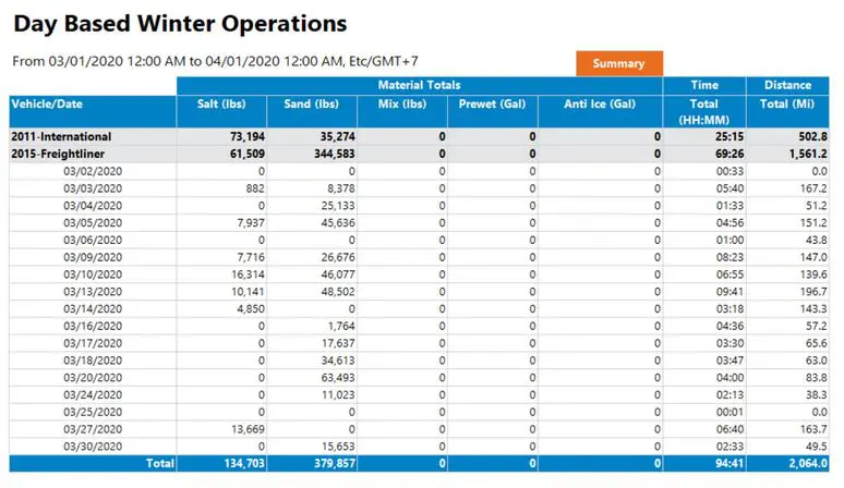
- Salt spreaders
- Snow plows
- Mosquito spraying
- Waste management
- Street sweepers
Public Safety
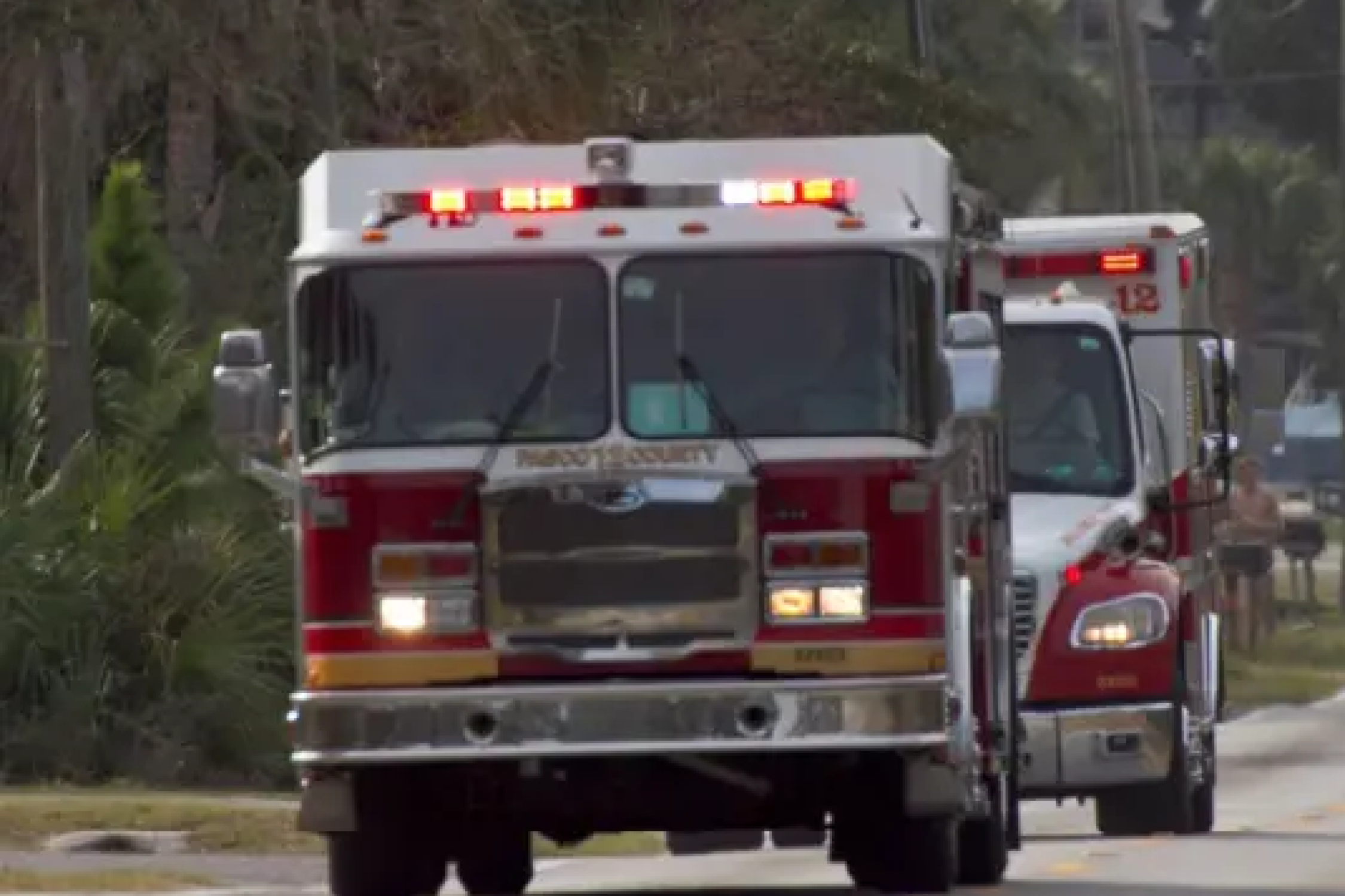
In 2020 public safety, which includes law enforcement, is one of the hottest areas in the public sector. Accountability, oversight, insight and efficiency is intertwined like never before. Sharing a common platform, internally separated by department, between all government agencies provides a unified and common data set from which analysis can be accomplished efficiently.
With the right telematics platform insights are possible which may have never been considered before.
Areas:
- Use of lights and sirens
- Accident reconstruction using accelerometers
- Driver coaching
- Pursuit speeds and driving behaviors with Active Tracking
- Patrol routes and areas covered to ensure equal coverage
- Synchronized dispatch between police, fire rescue and other agencies in one interface with matching data sets
- Integration with body cam video and office location in relation to vehicle positions or other vendor IoT data
Electric Vehicles & Environment Initiatives
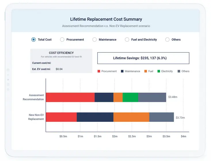
Reducing the fleet maintenance costs and lowering environmental impact are often government initiatives encouraging the use of electric vehicles. Fleetistics can help you understand when, and if, electric vehicles make financial sense. Peripheral investments in areas such as charging station infrastructure, trip distances, vehicle use by type and the correlating carbon emissions are all part of the overall decision to move forward with electric vehicles.
Big Data
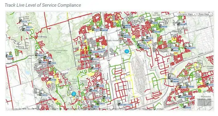
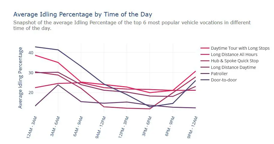
In large municipalities the amount of data can be overwhelming. The data sets can become huge and require big data tools to view macro trends across an entire city or region. Big data can assist with traffic flow, emergency service analysis, response time trends and other areas of public interest to make an agency better.
Areas:
- Performance bench marking to similar organizations
- Traffic trend analysis
- Machine learning
- Urban infrastructure analysis

Integration & Security
A key to long-term success is starting with an open data platform. Open does not mean not secure. It means using industry standard security protocols to move and share data between customer services to ensure a customer always has the flexibility to use the data as needed. Sharing telematics data with the fleet safety group or diagnostics trouble codes with a maintenance application vendor ensure the maximum return on investment from one data source. Fleetistics provides an environment that pulls resources and access to resources together from a single location for user efficiency and central management. Systems security is layered to control access internally in addition to third party system access controls.
Areas:
- Dash cams
- GPS tracking
- Asset and equipment tracking
- IoT data
- Customer supplied data sets
Government Contracting
Fleetistics already has several government contracts in place and participates in the Sourcewell buying group. Fleetistics services may not always be the least expensive but customers are guaranteed to have a “future proof” platform that provides flexible options well into the future. Only Fleetistics and partners can bring the scope and expertise needed for fleet government operations and smart cities.
“MoDOT AVL/GPS team quickly realized that MoDOT needed a system where it could capture information statewide to better utilize the full benefits of a telematics solution. Doing so required consolidating the existing telematics platforms, which each of which had different vendors, into a single vendor platform under one contract.”
Fleet Management Ecosystem
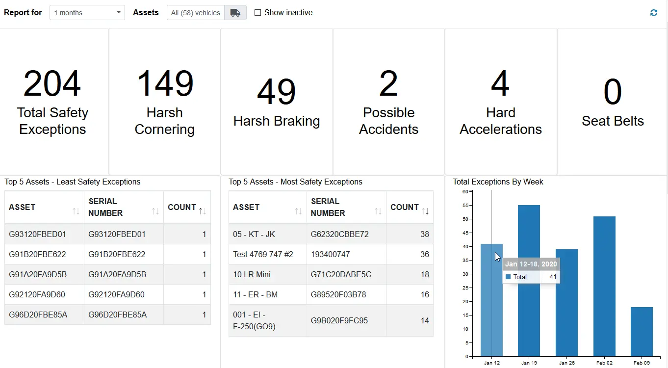
Safety Stats
Mapping
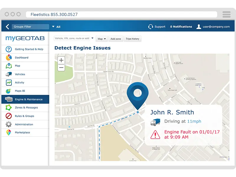
Engine Fault Codes
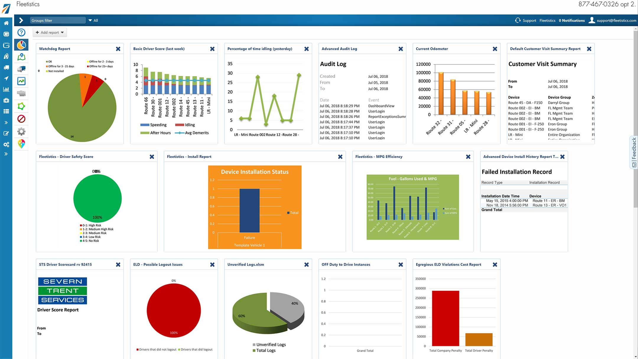
Dashboards
Google, ESRI & OSM
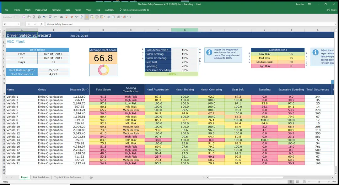
Driver Scorecard
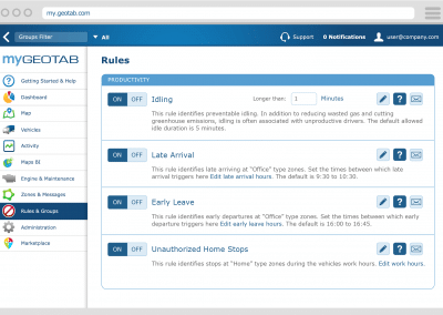
Rules & Exceptions
Accident Detection
