
GPS tracking for food trucks gives owners and operations teams a shared view of vehicle location, route history, scheduled stops, and unexpected movement. Fleetistics helps businesses use that visibility to keep customer updates current, coordinate more than one truck, review permit-zone activity, protect vehicles after hours, and measure operating improvements. The best setup matches your truck count, power source, coverage area, update needs, and daily workflow.
Contact Fleetistics for a food truck tracking recommendation based on your vehicles, service areas, and operating goals. You can also review fleet tracking by industry to see how a broader fleet program can support a growing mobile business.
GPS tracking for food trucks works best when it is tied to a clear operating decision. Use it to improve customer updates, compare planned and actual routes, manage service zones, or respond to unexpected movement. Then measure whether the system improves the process that mattered to your team.
A food truck is both a vehicle and a moving storefront. A location post can become outdated as soon as traffic, parking, weather, an event change, or a maintenance issue changes the plan. Tracking does not replace good scheduling or customer communication. It gives your team a reliable operating record to use alongside those processes.
Why Does a Food Truck Need More Than Basic Location Sharing?
Basic location sharing answers one narrow question: where is the truck at this moment? A fleet tracking system can answer a wider set of operational questions. Where did the truck travel? How long did it remain at a scheduled stop? Did it return to the commissary? Was an after-hours movement expected? Did the route match the plan?
That distinction becomes more valuable as a business adds trucks, drivers, events, or service areas. An owner may need one view of several vehicles. A dispatcher may need current locations to coordinate a change. A customer-service employee may need a dependable update before responding to a caller. Historical data can also support conversations about route time, missed stops, vehicle use, and downtime.
How does tracking improve accountability?
Tracking creates a shared record instead of requiring every decision to rely on memory, individual phone updates, or scattered social posts. You can compare planned service locations with actual arrival and departure activity. That does not prove why a delay happened, but it gives you a starting point for asking the right question.
Use the data with your schedule, event calendar, parking information, and sales results. A route that looks efficient on a map may perform poorly if parking is difficult or the service window is too short. A location with strong sales may still create excessive travel or idle time. Tracking helps you see the operating pattern so you can evaluate those tradeoffs.
What can a small food truck operation measure?
- Route time: Compare planned travel with actual movement between service areas.
- Stop activity: Review arrival, departure, and dwell patterns at recurring locations.
- Vehicle use: Confirm when a truck is serving, returning, being serviced, or parked.
- Exceptions: Identify unexpected movement, schedule changes, or extended idle periods for follow-up.
Start with a short list of measures that connect to business decisions. More data is not automatically better. The goal is to make location and activity information useful to the people coordinating the trucks.
How Can GPS Tracking Improve Customer Updates and Routes?
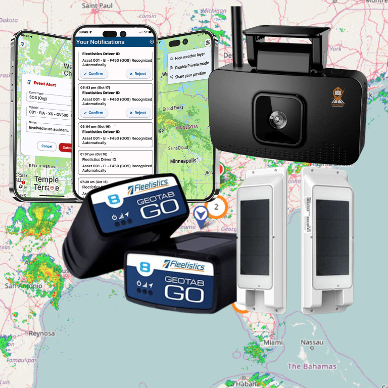
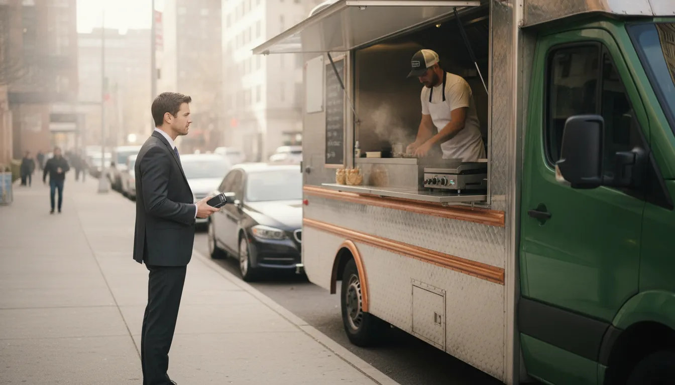
Customers want a practical answer to a simple question: where can I find the truck? A GPS tracking app on a mobile phone can help a food truck business share its last known location through a custom URL on its website or social media. Fleetistics’ CrewChief mobile app provides tracking and a customer URL, so people can check where the truck was most recently reported without relying on an outdated post.
Keep the promise precise. A customer URL can show the truck’s last known location and movement, but it cannot guarantee that a truck will remain at a location, that a parking space will be available, or that demand will justify a stop. Explain the update timing and label the information clearly as current or last known. Assign responsibility for schedule updates so the public information remains aligned with what your team knows.
What should a customer-facing location process include?
- Choose the information to share. Decide whether customers see a current location, a planned stop, a service-area label, or a combination.
- Set an update owner. Name the person who confirms changes caused by traffic, weather, maintenance, parking, or event instructions.
- Use a consistent channel. Link the location from the website or the customer channels your audience already uses.
- Review accuracy. Compare the shared location with the truck’s actual schedule and correct stale information quickly.
For a single truck, the process may be simple. For multiple vehicles, shared location data can reduce repeated calls and help staff direct customers to the right unit. It can also make it easier to coordinate event service without asking each driver for a separate status update. Because the CrewChief mobile app also supports functions such as vehicle inspections and expense reporting, the same mobile workflow can support more than public location sharing.
How can route history support better decisions?
Route history shows what happened, not what should happen next. Use it to identify repeated detours, long travel between stops, recurring delays, and service areas that require more time than expected. Then test a change and measure the result against the same baseline.
Food truck operators should evaluate route history with other business information. A shorter route is not necessarily better if it reduces profitable service time. A busy stop is not automatically a good stop if it creates unacceptable permit or parking risk. Tracking supplies evidence for the decision, while your operating and sales data supplies the context.
Fleetistics combines GPS tracking and telematics with broader fleet management tools. Review the fleet management software options when location, maintenance, reporting, and integrations need to work together.
What Should Food Truck Operators Know About Permits and Zones?
Permit and zone requirements are local rules. A city, county, property owner, transit authority, or event organizer may set different requirements for where and when a truck can operate. GPS tracking can help document activity or support a required data-sharing process, but it does not determine whether a location is legally approved.
Boston is one example of a jurisdiction with specific food-truck GPS requirements. Its published guidance discusses provisioning, activation, testing, data sharing, and installation documentation. Review the City of Boston GPS requirements only as an example. Confirm current requirements directly with the authority responsible for each place where you operate.
How can geofences support operating zones?
A geofence is a virtual boundary around an area. Fleetistics can help you create boundaries for permitted vending areas, recurring event locations, commissaries, storage yards, restricted zones, or approved overnight parking. When a truck enters or leaves a boundary, the system can record the event or send an alert, depending on the device and configuration.
Use clear names that your team can understand later. Include the location, permit reference, effective dates, operating hours, and responsible contact in your own records. Revisit boundaries when a permit changes, an event ends, parking access changes, or a truck moves to a new service area.
What data should you ask a permitting authority to accept?
Do not assume that a screenshot, downloadable report, API record, or direct feed will meet a local requirement. Ask the authority which format it accepts, how often data must be supplied, what consent is required, and who may access it. Keep the answer with the permit record so a new employee does not have to reconstruct the process.
Also decide how long you retain relevant reports and who can retrieve them. A tracking platform can make records easier to find, but your business still needs a retention and access policy that fits its obligations.
Can GPS Tracking Help Protect Food Trucks After Hours?
GPS tracking can improve visibility when a food truck moves unexpectedly, but it is not a guarantee against theft or recovery. Use it as one part of an after-hours process that includes physical security, clear parking expectations, alert ownership, human verification, and an escalation plan.
What should an after-hours response process look like?
- Define normal movement. Record approved overnight parking, regular service areas, maintenance locations, cleaning facilities, and expected travel windows.
- Configure useful alerts. Set movement or geofence alerts that match the operating schedule. Too many alerts can cause staff to ignore the ones that matter.
- Verify the event. Review the current location, recent trip, assigned driver, work order, maintenance plan, or event change before treating movement as unauthorized.
- Escalate when appropriate. Follow the business response plan and contact the appropriate authorities when the facts warrant it.
- Document the result. Retain the alert, timestamps, location history, explanation, and actions taken. Review the event for process gaps.
Assign each alert to a named person or team. Define the expected response time and the information that person should check first. The technology is most useful when everyone knows what happens after an alert arrives.

Which Tracking Features Fit a Food Truck Fleet?
The right feature set depends on the number of trucks, their power and connectivity, the people who need the data, and the systems already used by your business. Avoid buying a long feature list before defining the workflow. Instead, match each requested capability to a decision someone needs to make.
Food truck tracking features by operating need
| Operating need | Useful capability | Questions to ask |
|---|---|---|
| Current vehicle visibility | Live location, trip history, and shared map access. | How often does location update? Does coverage fit every service area? |
| Customer updates | Controlled location sharing through a link or website. | What information is public? Who confirms schedule changes? |
| Route and stop review | Historical trips, geofences, and operational reports. | Can the team compare planned stops with actual activity? |
| After-hours security | Movement alerts, geofence alerts, and response workflows. | Who receives each alert, and what action follows it? |
| Vehicle uptime | Maintenance records, service reminders, and relevant diagnostics. | Can maintenance information be connected to the location record? |
| Business integration | APIs and marketplace integrations for connected workflows. | Which systems are supported, and who maintains the connection? |
Fleetistics offers modular fleet management solutions built around Geotab technology. The company has served fleets since 2001 and helps customers select hardware, configure the platform, and evaluate the results. Its open ecosystem includes free API access and more than 300 integrations, subject to the capabilities and terms of the selected solution.
Hardware should be evaluated with the installation environment in mind. Confirm the power source, weather exposure, coverage area, desired update frequency, and installation plan. A device that works for one truck may not be the best choice for a different vehicle or operating pattern. Review GPS tracking hardware as part of a complete vehicle and workflow assessment.
How Much Does GPS Tracking for Food Trucks Cost?
Request a food truck tracking evaluation from Fleetistics to compare hardware, software, installation, and support against the way your trucks operate.
There is no responsible single monthly price for every food truck operation. Total cost depends on the device, installation, connectivity, software functions, user access, support, integrations, and optional features. A one-truck business with simple location needs should not be evaluated under the same assumptions as a multi-truck operation with customer-facing maps and route reporting.
Which cost categories should you compare?
- Hardware: Device type, vehicle compatibility, power requirements, and replacement terms.
- Installation: Professional installation, setup, testing, and future relocation.
- Connectivity: Coverage, data service, update frequency, and cross-border operating needs.
- Software: Maps, history, reports, geofences, maintenance, users, and mobile access.
- Services: Implementation, training, support, integrations, and custom development.
Ask every provider to use the same assumptions. Then compare the proposal with your baseline measures, such as manual update time, route time, idle time, maintenance downtime, missed schedule changes, and unauthorized movement. Treat possible savings as a hypothesis to test, not as a guaranteed result.
How can a food truck operator validate the investment?
Define a short evaluation plan before deployment. Choose the trucks, routes, locations, users, alerts, and metrics to test. Train the people who will act on the information. Review results at regular intervals and remove alerts or reports that do not support a decision.
Fleetistics uses a consultative approach and can help match a modular solution to the operation. For blog guidance, a 30-day Solution Evaluation Process is the standard reference for validating fit and ROI before a longer commitment. Subject to current terms and the proposed solution. Smaller fleets may complete an evaluation in as little as two weeks, while larger fleets may need more time. The process should be measured against the baseline you set before installation.
How Can Fleetistics Help You Choose a Food Truck Tracking System?
Choosing a tracking system is easier when the recommendation starts with the work, not a product catalog. Fleetistics can help you review truck count, vehicle type, coverage, service areas, customer-update goals, permit processes, security needs, maintenance practices, and integration requirements.
What should you bring to a tracking consultation?
- Number of trucks and the types of vehicles in service.
- Typical service areas, event locations, and overnight parking locations.
- Who needs current location, route history, alerts, and reports.
- Current customer-update process and the problems it creates.
- Permit or data-sharing requirements that apply to your jurisdictions.
- Systems that should receive location, maintenance, or operational data.
- Baseline measures you want to improve during an evaluation.
Fleetistics remains your advocate and implementation partner when it helps you select and configure Geotab-powered solutions. The objective is a practical match between your fleet and the platform, with training and support that help your team use the information after installation.
Contact Fleetistics to plan your food truck tracking evaluation and discuss the vehicles, routes, customer URL, CrewChief mobile-app functions, and operational outcomes you need to measure.
Frequently Asked Questions
What does GPS tracking show on a food truck?
Depending on the device and configuration, GPS tracking can show current or recent location, trip history, movement, geofence activity, and selected vehicle information. Update timing and available data depend on coverage, hardware, platform settings, and the solution selected.
Can customers see where my food truck is?
They can when the system is configured for controlled customer-facing location sharing. A mobile app such as Fleetistics’ CrewChief can provide tracking and a customer URL that a business shares through its website or social media. Decide what information is public, explain whether it is current or last known, and assign someone to confirm schedule changes. A shared map shows visibility, but it does not guarantee a parking space, service availability, or sales.
Can GPS tracking help with food-truck permit zones?
Tracking can support zone management through geofences, route history, reports, and data feeds. Local authorities set their own rules, so ask what information and format they accept. A geofence is an operational aid, not proof that a location is legally permitted.
Does tracking prevent food-truck theft?
No. Tracking can alert your team to unexpected movement and help verify an event. But it does not replace physical security, insurance, an escalation plan, or contact with authorities when appropriate.
How much does GPS tracking for food trucks cost?
Cost depends on hardware, installation, connectivity, software, support, integrations, and optional features. Compare complete proposals using the same assumptions, then validate the expected operational value with baseline measures during an evaluation.
Speak with Fleetistics about GPS tracking for food trucks when you are ready to compare a practical setup for your vehicles and service model.